Thermal imaging and infrared cameras for bat surveys
As daylight fades, it can be difficult to tell whether a bat has emerged from a gap beneath the eaves or flown past the building. During dusk emergence surveys, our ecologists use thermal imaging and infrared video alongside bat detectors. Reviewing the footage allows us to trace a bat’s flight back to the point where it first appeared, identify roost access points and count the bats we observe emerging. We use recordings of their calls to help identify the species.
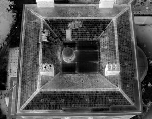
Aerial thermal imaging with the DJI Matrice 4TD
For large or complex structures, we use a DJI Matrice 4TD thermal drone where an aerial view can improve survey coverage. Its 640 × 512 pixel thermal camera detects the heat emitted by bats in flight. This gives our ecologists a view of upper elevations, roof junctions and sections of roofline that may be hidden from surveyors on the ground. We use the aerial footage alongside recordings from our ground cameras to assess where bats emerge and how they move away from the structure.
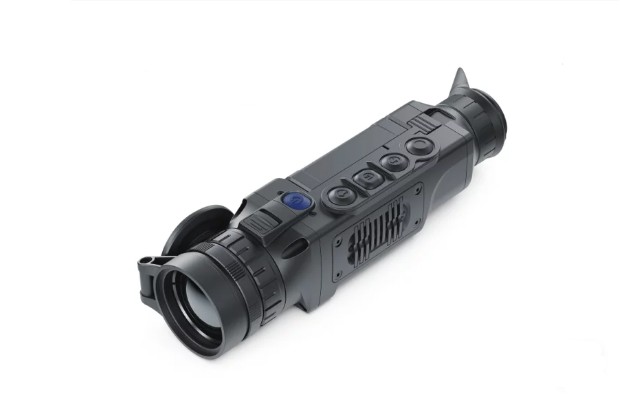
Ground based thermal imaging with the Pulsar Helion 2 XP50 PRO
We mount our Pulsar Helion 2 XP50 PRO thermal scope on a tripod to maintain a steady view of a potential roost entrance or section of a building. Its 640 × 480 pixel thermal sensor detects temperature differences between a bat and its surroundings, allowing us to follow its movement in darkness without additional lighting. The fixed viewpoint is particularly useful when several bats emerge in succession from the same opening and we need to review the count.
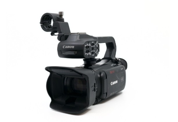
Infrared video with Canon XA series cameras
We use Canon XA40, XA35, XA20 and XA15 camcorders in infrared mode, supported by infrared LED lighting. The LEDs illuminate the survey area, and the cameras record the infrared light reflected by the building and any bats in view. This keeps features such as roof tiles, fascia boards and gaps in masonry visible on the recording after dark, helping us identify the particular opening a bat has used. Where a building has several potential access points, we can position cameras on different elevations to monitor them during the same survey.